Climbing Ağrı Dağı
July 25, 2014
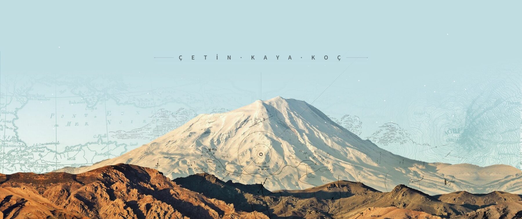
A majestic mountain called Ağrı Dağı or known in English langauge as the Ararat, rises in eastern Turkey, on the border of Armenia and Iran. It is the tallest mountain in Turkey. I measured the height as 5132m using the aster method when I was at the summit. However, many geography books claim it to be 5165m; several guides told me that this information is incorrect and the correct value is about 5135m. Indeed, the Google Map says that is 5137m (16,854 feet).
Its mythical story notwithstanding, it is a beautiful mountain majestically visible from Turkey, Armenia, and Iran. Together with her younger sister Küçük Ağrı Dağı or Little Ararat, (3925m, the 6th tallest mountain in Turkey), they have gorgeous views in all seasons.


A usual climbing expedition takes 5 days and 4 nights to get to the summit and to return. There are known 5 routes to the summit. The currently used (and the most popular) route is the Southern route, which starts from the town of Doğubeyazıt, more specifically, from a village called Çevirme (Çarme, in Kurdish) at the elevation of 2189m. This is the route I took with to climb with 4 others.
On the other hand, the Western route requires walking over a glacier on the west side of the mountain after about 4000m, which is more dangerous. There are two Northern routes, via the town of Iğdır, one of which requires technical climbing, while the other seems to be similar to the popular Southern route in difficulty. There is also an Eastern route which is less known and used, but does not seem to be too challenging.
The Southern route climbers start the first day by arriving the Çarme Village (elevation: 2189m) with car, and climbing up to the Base Camp (elevation: 3361m) during the first day. This walk takes 4-5 hours. The first night is spent at the Base Camp.
The second day, there is about 4-5 hours of climb to the Second Camp (elevation: 4200m) for acclimating. The Second camp is much rockier, and has smaller area for tents. Acclimating climbers usually do not spend time at there, instead spend about an hour hour at 100m below. The team returns to the Base Camp during the second day and spend the night at the Base Camp.
The third day the climbers go up to the Second Camp and actually put their tents up and “try to sleep” there for a few hours.
At around 1am, which is now the beginning of the fourth day, climbing to the Summit (5137m) starts from the Second Camp (4200m). After about 4700m, the Ararat glacier starts and climbers need crampons. The Summit is reached usually around 6-7am (in 5-6 hours) which is also the beginning of the fourth day. The Summit is usually very cold (-5 Celsius or below, in July) and quite windy, it is not possible to stay too long there. Snow and ice storms are very common, but there are also windy and sunny days. The climbing party starts descending to the Second Camp which takes about 4 hours. After spending a few hours at the Second Camp the party returns to the Base Camp during the fourth day, before the Sun sets. The fourth night is spent at the Base Camp.
In the morning of the fifth day, the party returns back to the Çarme Village.
It is of course possible not to be able to proceed, if the weather turns from good to bad at any given time. Depending on the weather conditions, the party may have to return from the First Camp, or the Second Camp or somewhere after that, before reaching the Summit.
My Climb: Day 0
I flew from Ankara to Iğdır on Monday afternoon, July 21, 2014. Iğdır is one of most beautiful towns in eastern Turkey, full of fruit trees and gardens. It is located on the northeastern side of Mount Ararat. Basalt rocks fallen from the mountain create a gorgeous view as one drives from Iğdır to Doğubeyazıt.

met my guide Cemal Güneş before the evening when I arrived at Doğubeyazıt, and we reviewed and completed my equipment needs.
My Climb: Day 1
At 8 am on July 22, I found him in the town and we drove to the hotel where the climbing teams were staying. My team had 2 other members from Catalonia: Toni Mesquida and Juan Munné Parera (they did not want to be identified as from Spain):. There was another team, consisting of 17 Danish citizens and 2 guides (Yıldırım ve Bülent). Two vans took us from Doğubeyazıt to the Çarme Village, which takes about 1.5 hours of drive. The elevation of Çarme is 2189m. Once arrived at Çarme, the vans unloaded the tents, food and everything else, which were to be taken by mules and horses, while we walked over a rocky terrain about 5 hours in order to get to the Base Camp which is at 3361m.


I will write the rest when I have time.